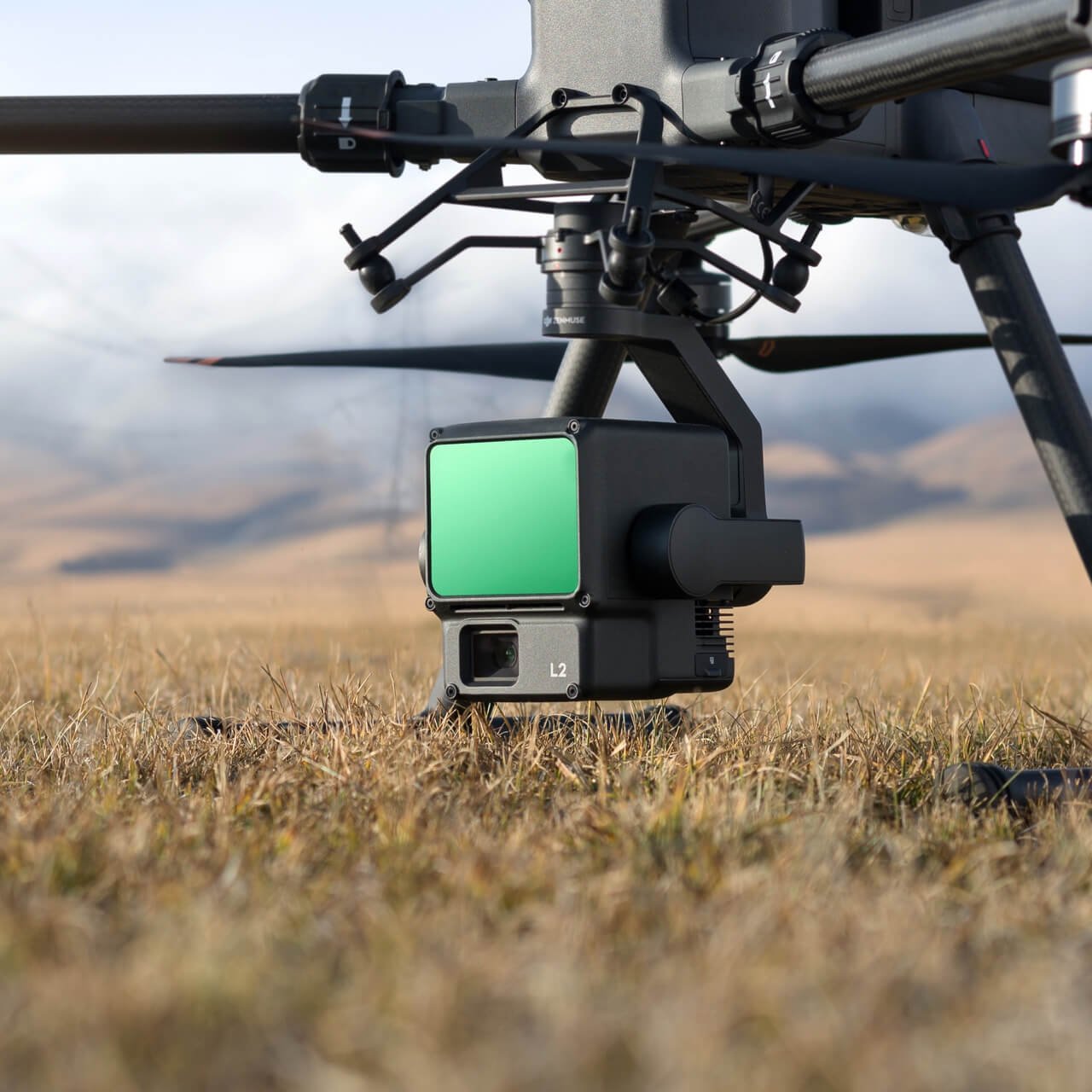
High Precision High efficiency High penetration Measuring distance 250 meters/450 meters 5 echoes Ready to operate Real-time point cloud display DJI SmartMap-key processing!
highly accurate
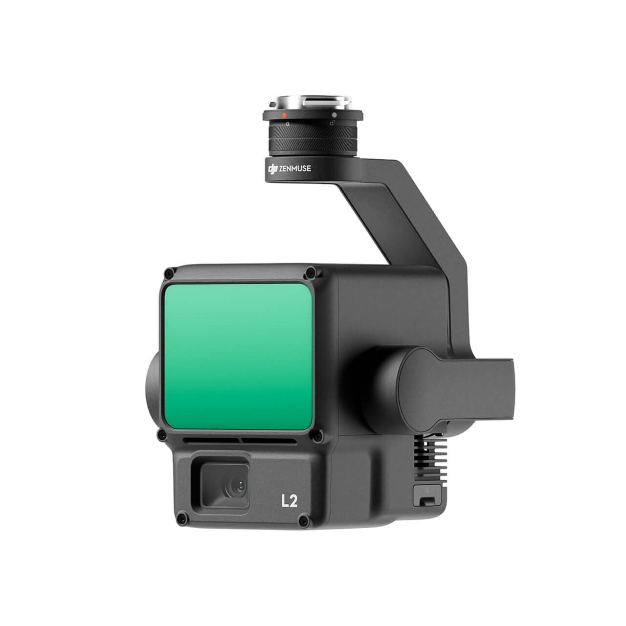
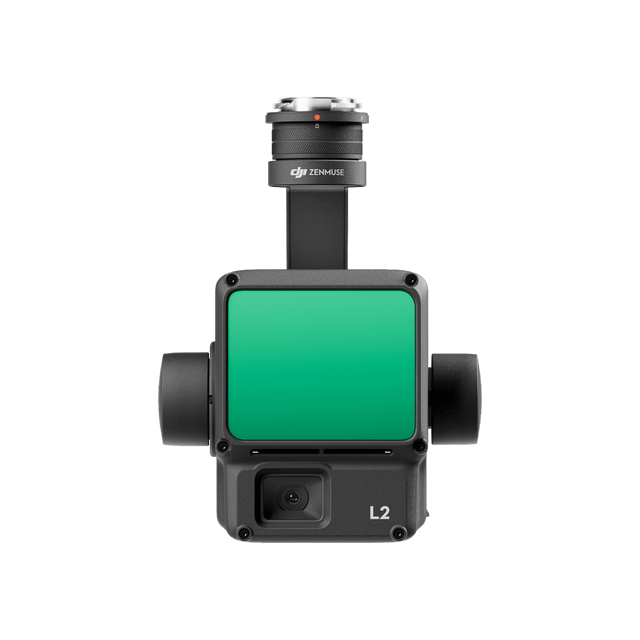
L2 is a fusion of GNSS and high-precision self-developed attitude system, with an elevation accuracy of up to 4 centimeters and a planimetric accuracy of up to 5 centimeters.
high efficiency
It can quickly acquire 2.5 square kilometers of point cloud data in a single flight [2], and efficiently carry out operational tasks.
30% increase in range
The L2 has a range of 250 meters (10% reflectivity, 100 klx)[3], 450 meters (50% reflectivity, 0 klx)[3] and a typical operating altitude of up to 150 meters, which further enhances operational safety and efficiency.
high penetration
With a spot size of 4 × 12 cm @ 100 meters, only 1/5 the size of the L1, it not only recognizes smaller targets and obtains finer models, but also penetrates denser vegetation and generates more accurate digital elevation information.
DJI Zhitu One Click Processing
Importing point cloud data into DJI Zhitu can realize efficient and reliable one-stop post-processing. Not only can it generate 3D point cloud in standard format with one click, but also output DEM digital elevation model and support point cloud quality analysis and other functions.
Real-time point cloud display
It supports three real-time display modes: visible light, point cloud, and point cloud/visible light split screen to visualize the work effect. The operator can also quickly preview the currently recorded point cloud 3D model [4], real-time perception of the work process.