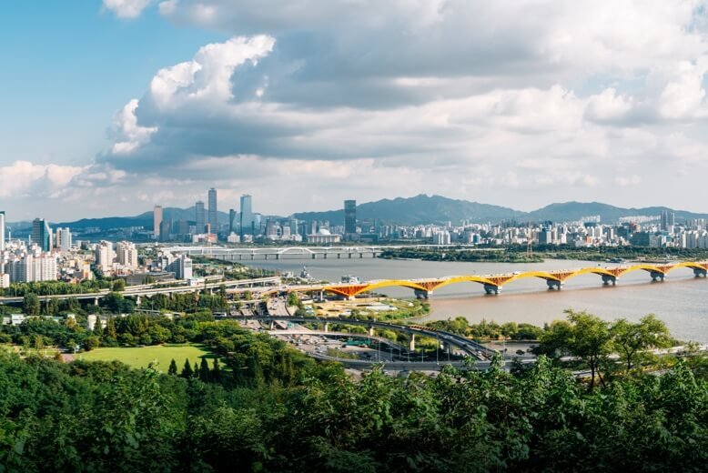
实时回传汛情高清影像,空地协同辅助指挥决策
water law enforcement
The drone carries out river and lake inspections efficiently, and investigates and deals with the hidden dangers of the “four chaos” in a timely manner. Forensic material back to the cloud, enhance the efficiency of law enforcement
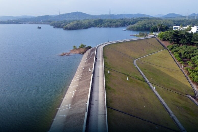
Reservoir inspections
Timed and fixed-point automatic inspection operations, the dam, perimeter, water surface of the fine inspection, police all kinds of hidden safety hazards
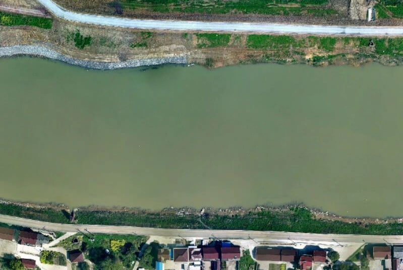
Drones help environmental management of rivers in the Yangtze River Basin
Adopting drone technology to efficiently inspect river outfalls, M300 RTK with multi-sensors completes 2,976 kilometers of shoreline inspections, and accurately locates 16,000 suspected outfalls in 18 days, helping to control water pollution.

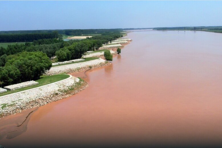
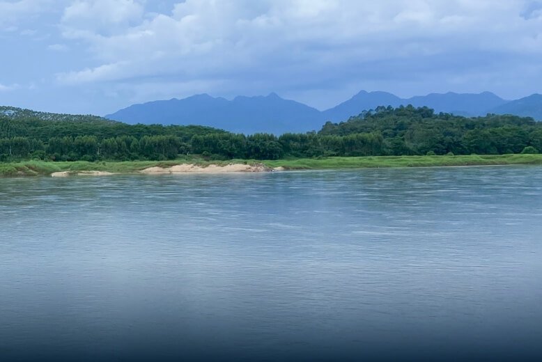
Drone “on duty”, autonomous river patrols
flood control
Efficient airborne situational awareness during flood season, assisting the rear to understand the frontline situation in a timely manner and remote flood control command and dispatching.
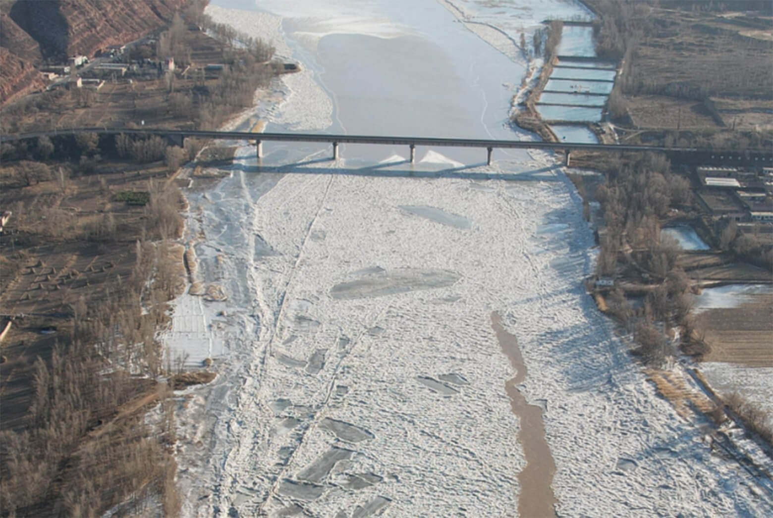
Drone water conservancy application, strong support for the Yellow River anti-bullying monitoring work
Drones provide precise information on the Ling situation, timely and accurate transmission of changes in the Ling situation and engineering risks

Drone Flood Control Applications
Digital Twin Base Plate
Drones effectively support the construction of L2 and L3 data substrates, and the efficient collection of watershed aerial survey data to build refined digital results.
Water conservancy project construction
The use of drone image data, engineering digital model can be visualized, for water conservancy project supervision and acceptance of results to improve efficiency
soil conservation
For scenarios such as disturbance plot review and soil and water conservation adjustment, the drone collects data, generates a digital model, and efficiently analyzes the data.
hydrographic survey
UAV non-contact measurement of water flow data, no need to wade in the water, to protect the safety of personnel, improve operational efficiency
Compact Aerial Survey Tool | Mavic 3E Ortho, Tilt and Close-up Photography Measurements
In river aerial surveys, the Mavic 3E's mapping capabilities are fully enhanced to meet the needs of complex environments and long-distance operations

As the first full-frame camera, what can the HBC P1 really do?
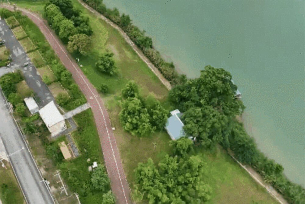
Longitude and latitude M300 RTK piggyback DII P1 Preparation of river and lake shoreline protection and utilization planning, delineation of shoreline functional zoning
