Accurate 2D-3D modeling, seamless integration with existing geographic data, intuitive display of planning effects
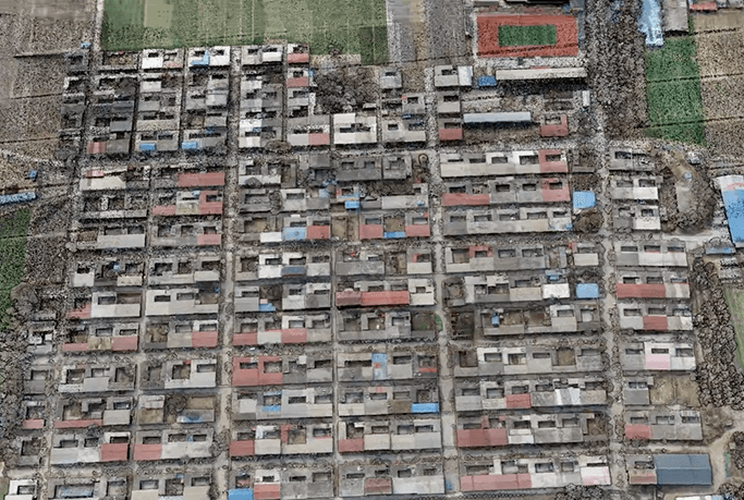
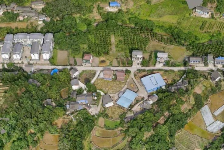
Cadastral Survey
Drones make cadastral surveying and management more convenient by greatly improving the efficiency of data collection.
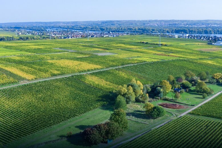
Land use coverage
Rapid generation of orthophotos by drones to facilitate dynamic monitoring of land use
Topographic Surveying
Modeling to generate topographic data, reduce field costs and shorten operation cycle time

Realistic 3D
Low-altitude drone data collection is the most important technical process to realize the construction of real 3D China.
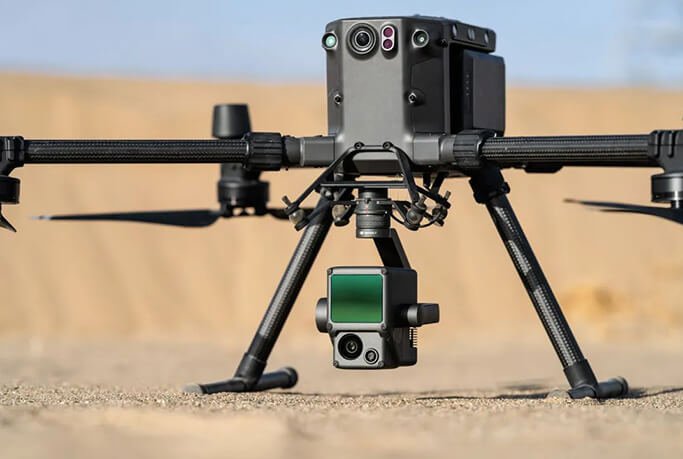
The HBC L1 Lidar is capable of acquiring all types of geographic information on the surface of the earth quickly and accurately over large areas and at high resolution. It can be used for basic mapping, topographic surveys, engineering surveys, earthwork measurements, power channel modeling, forestry applications, etc.
Sichuan Real Estate Integration Project: Practical Application of UAV 3D Oblique Photogrammetry

The HBC Phantom 4 RTK efficiently conducted high-altitude river surveys in Ganzi, delivering centimeter-level accuracy with cloud PPK technology while withstanding extreme plateau conditions.
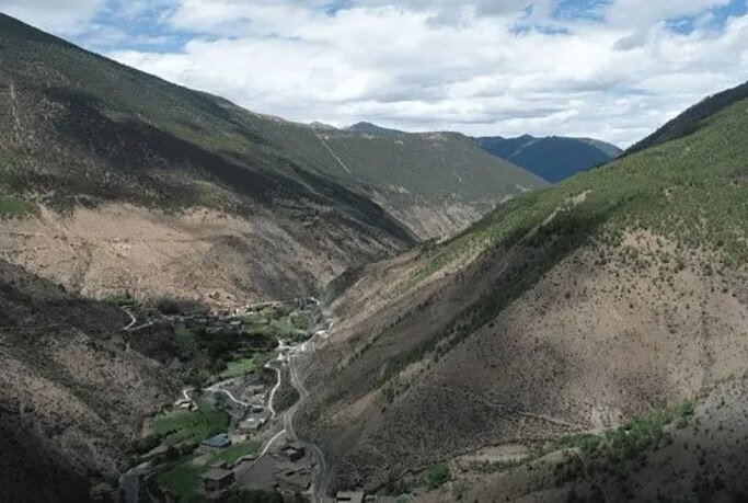
HBC L1+Matrice 300 RTK efficiently completed high-altitude surveying in Daocheng, overcoming three major technical challenges: extreme elevation, drastic elevation changes, and strong winds.
Geological disaster monitoring tool, HBC L1 helps Baiguotang disaster body three-dimensional identification
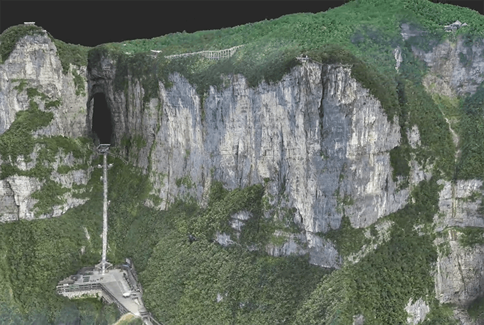
Drone 100 days to complete Zhangjiajie large-scale real-life three-dimensional construction

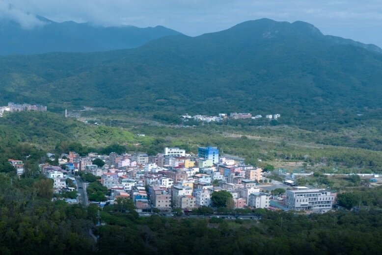
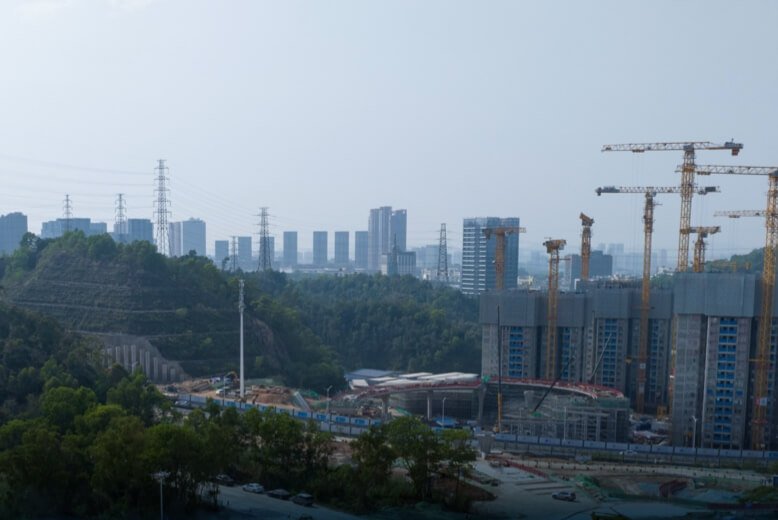
Urban and rural planning
Drones efficiently build real-world 3D models to visualize landforms and architectural information
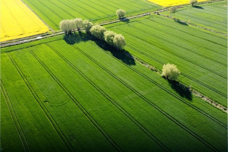
Land Use Planning
Integrate geographic, current situation, planning and other multiple information to make land planning work more efficient and convenient.
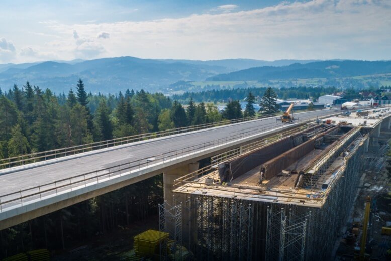
Infrastructure Planning
Drones accurately reproduce complex scenes and visualize planning effects
Survey and Design
Drones Reduce Fieldwork Costs and Provide Highly Accurate Model Data
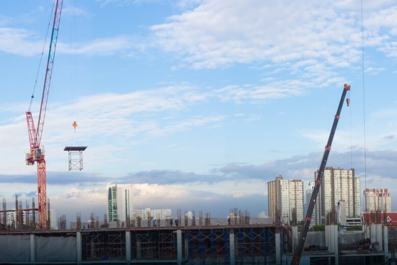
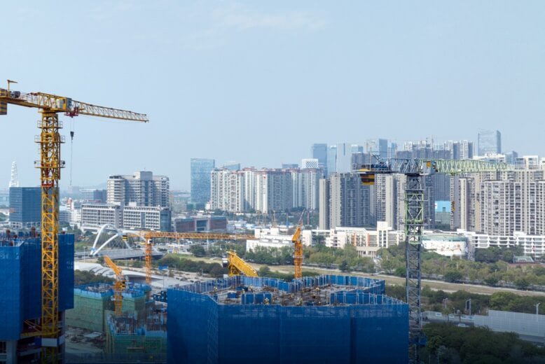
Construction Supervision
Use information technology to dynamically grasp the site conditions and comprehensively manage the construction progressdegree.
Intelligent construction site
Drones can be practically applied in the survey and design phase, construction phase and operation and maintenance phase involved in the housing construction industry (housing construction) and civil engineering construction industry (infrastructure), which can improve the overall construction efficiency rate.
Operation and Maintenance
Efficiently collect building facility data through rapid modeling and other means to digitize operation and maintenance and effectively reduce operation and maintenance costs.
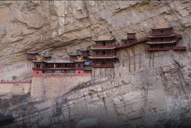
Three-dimensional mapping of ancient buildings
Constructing 3D models of ancient buildings, obtaining accurate architectural data, and providing perfect digital information support for cultural relics protection.
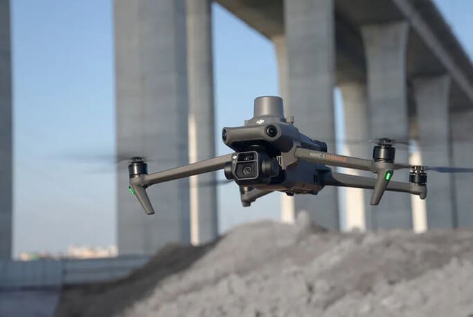
HBC Mavic 3E redefines the compact mapping drone. The lightweight body is equipped with a 4/3 CMOS camera and RTK module, realizing centimeter-level accuracy, and demonstrating efficient operational capabilities in ortho, tilt and close-up photography, breaking through the traditional limitations of mapping.
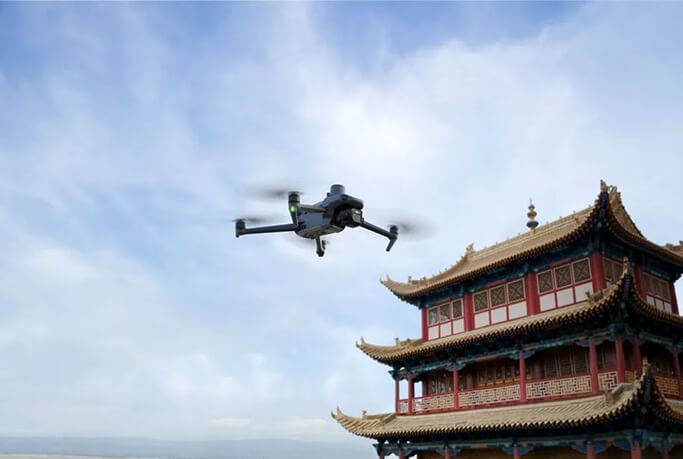
HBC Mavic 3E promotes the development of civilianized aerial surveying with its lightweight body, RTK centimeter-level accuracy, and efficient mapping capability for multi-scenario high-precision operations.
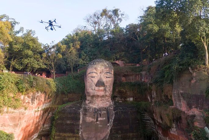
HBC M300 RTK equipped with P1 realizes millimeter-level modeling of Leshan Giant Buddha and completes 3D reconstruction of 4,573 photos in 32 hours, providing high-precision solutions for digital protection of cultural relics.

Japan uses HBC Wizard 4 RTK drone technology to complete 3D modeling of Tangjin City, providing an efficient digital solution for ancient building preservation and helping preventive maintenance of cultural heritage.
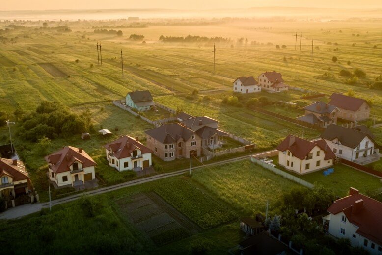
Proof of Rights
Drones rapidly build 2D and 3D models to provide accurate data support for land titling
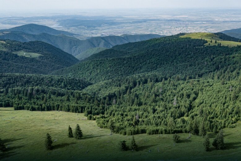
Natural resource classification
Automated and efficient recognition and classification of vegetation, water, roads, etc.
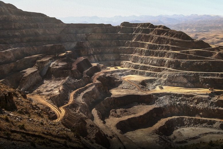
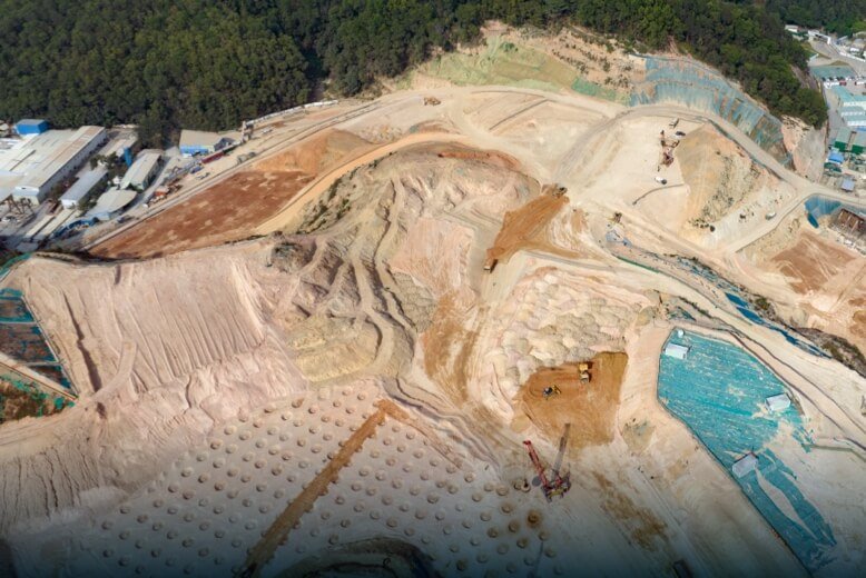
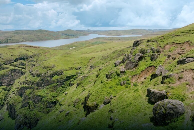
Geological and Mining Monitoring
Rapidly and accurately obtain topographic and geomorphologic information, greatly reducing the cost of manual surveys.