Drones can provide law enforcement officers with three-dimensional sensing, enrich the informatization means of law enforcement work, and promote intelligent transformation.
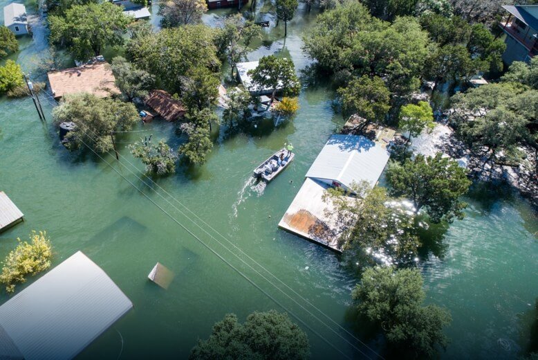
Flood relief
Labeling disaster site information such as trapped people, road conditions, risk warning maps, and rescue force planning and deployment during flood rescue
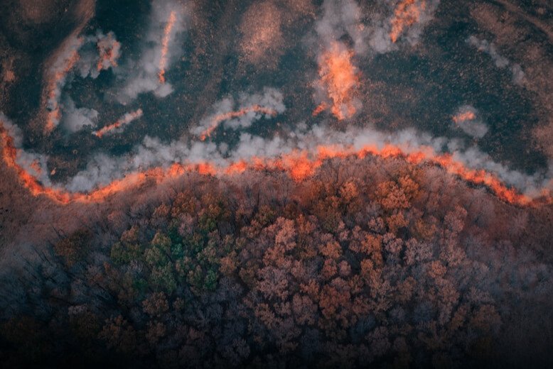
Forest fire rescue
Rapid labeling of fire lines, water sources, roads, operational schematics, risk warning maps, rescue force deployment maps and other fire scene information to help scientific rescue decision-making
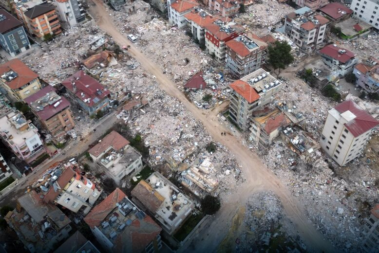
Earthquake and geologic disaster relief
The drone conducts global information collection, emergency modeling and other situational research and judgment on the disaster situation through the aerial perspective, and assists in the deployment of rescue work.

mountain search and rescue
Through the high-altitude information collection capability of the drone, the air and ground are integrated, and real-time missions are issued to provide information support for ground rescue personnel
investigate and collect evidence
Record the global information of the scene by means of high-altitude investigation and modeling to accurately restore the case
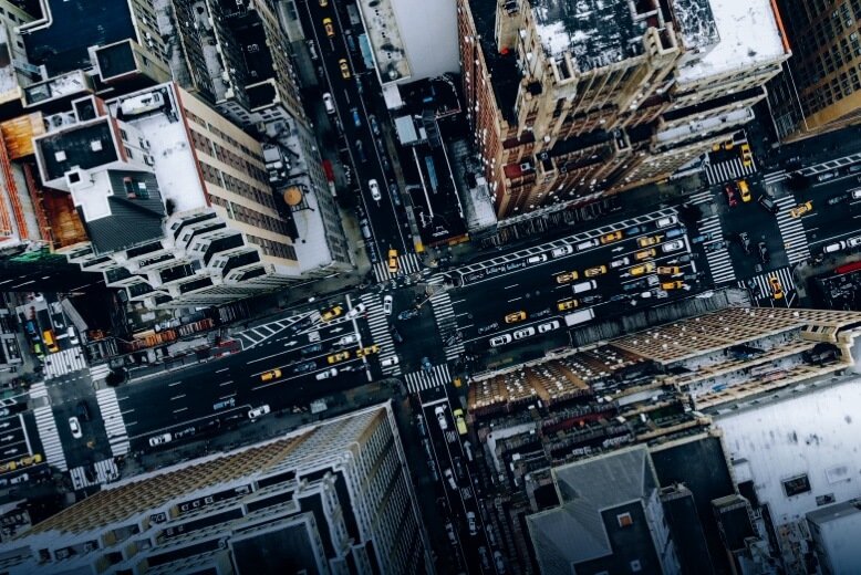
Security patrols
Efficient automated patrols, timely detection of security risks and on-site shouting of warnings to stop inappropriate behavior
Earthquake and geologic disaster relief
Rapid response, three-dimensional perspective, efficient fixing of evidence at the scene
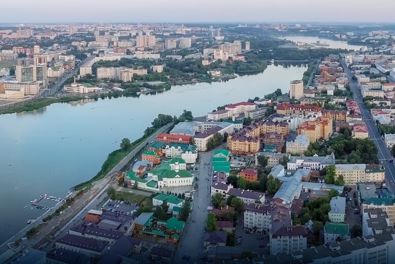
City Management Inspection
Efficient automated patrols to govern and maintain the management order of the district and realize digital urban management
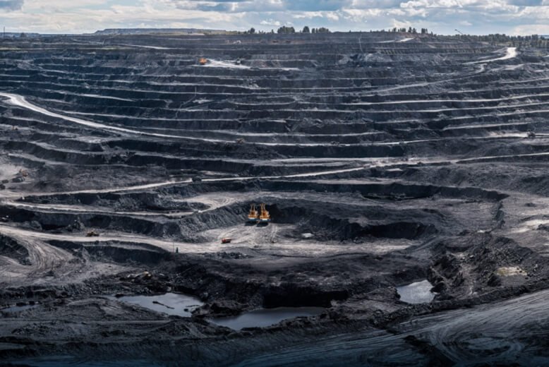
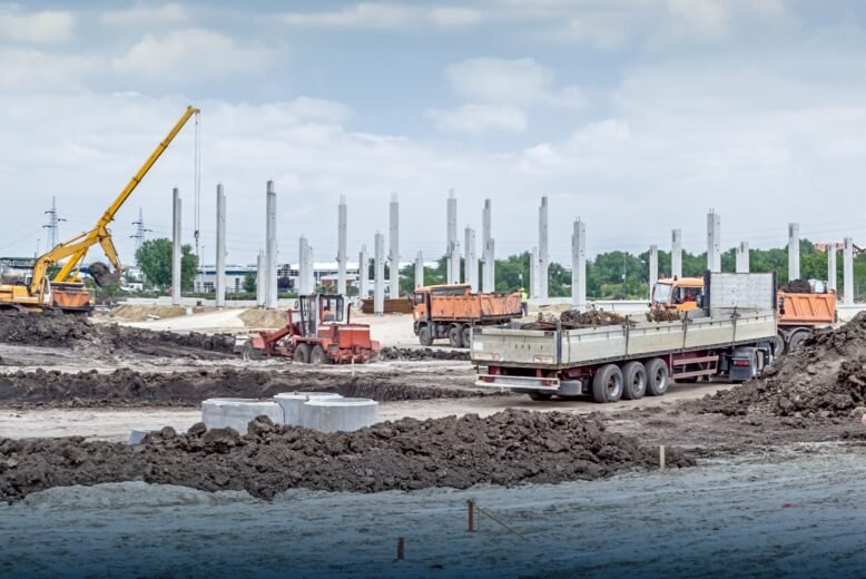
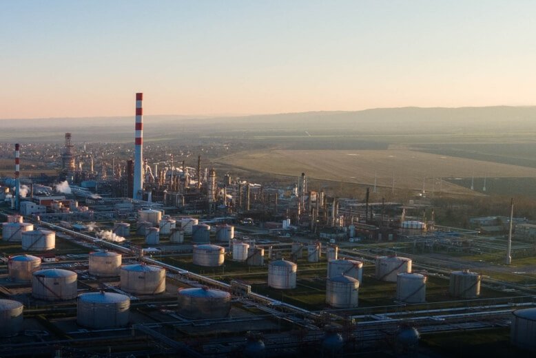
Supervision of the production safety sector
Safety production testing of key sites such as industrial and mining enterprises, coal mines, non-coal mines, enterprise parks or industrial zones
Self-inspection of production safety in enterprises
Safety self-inspection of hazardous sources, power grids, pipelines, work processes, etc. within the enterprise
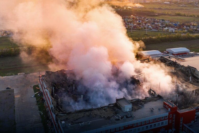
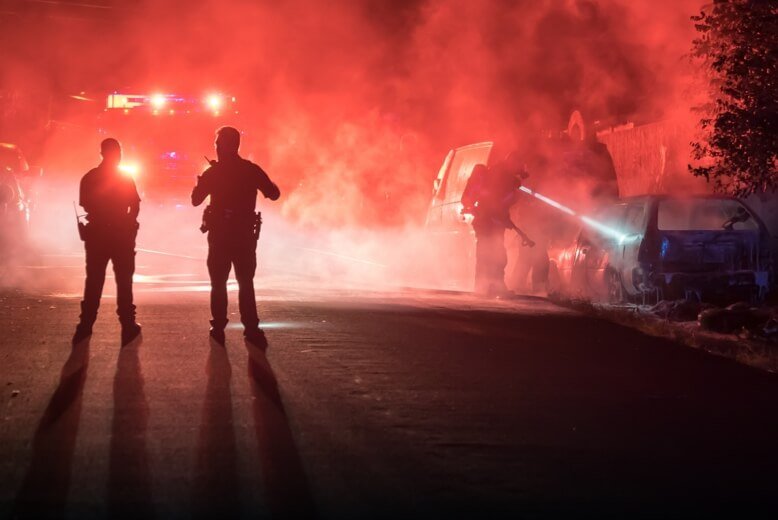
Disposal of safety production accidents
After a safety production accident, rescue teams use drones to assess and study the disaster situation through an aerial perspective and carry out auxiliary rescue work.